It was Indonesia, and the mechanism was canal blocking, known locally as sekat kanal. The failed Mega Rice Project cleared roughly 1 million hectares of peat-swamp forest and cut more than 4,000 kilometres of drainage canals through Central Kalimantan in the mid-1990s. After the disastrous 2015 fire season, restoration crews began blocking parts of that network to raise the water table and keep the peat wet, while the national restoration agency later reported 1.6 million hectares restored and 22,349 peat-restoration infrastructure units established by December 2024.
The response did not mean filling every kilometre of canal. Crews placed wooden barriers, compacted peat and other low structures at selected points, slowing the escape of water from the peat dome. Indonesia formally created the Peatland Restoration Agency, or BRG, through Presidential Regulation No. 1 of 2016, making rewetting one part of a broader attempt to reverse decades of drainage.
A landscape built to burn
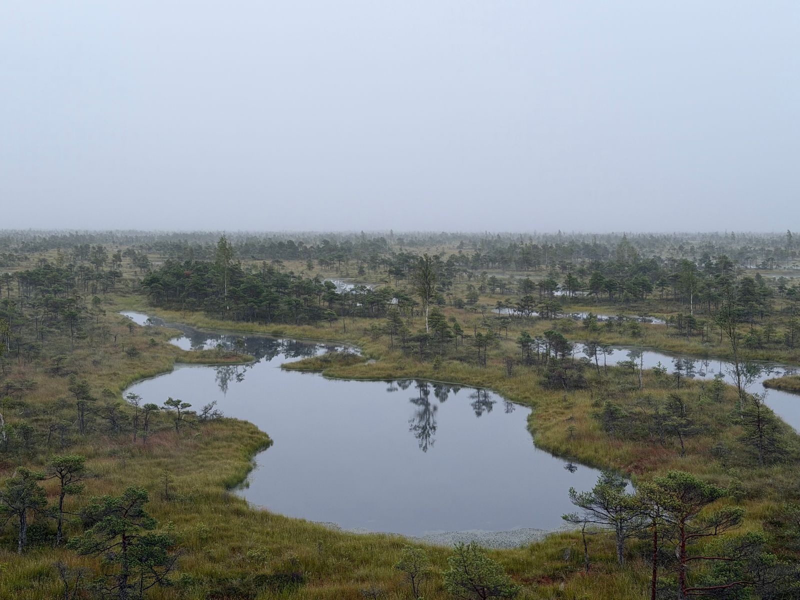
Peat is not ordinary mineral soil. It is a waterlogged accumulation of partially decomposed leaves, roots and wood that can build over thousands of years. In intact tropical peat swamp, the high water table restricts oxygen and slows the microbes that would otherwise consume the stored plant material.
Drainage changes that balance. Oxygen enters the peat, decomposition accelerates and carbon escapes as carbon dioxide. The drying peat also shrinks and subsides, while the upper layers become vulnerable to ignition.
Once alight, peat does not burn only across the surface. Fire can smoulder below ground, following dry pockets and root channels for days or weeks before reappearing somewhere else. A surface that looks cool can conceal heat beneath it, making peat fires unusually difficult to locate and extinguish.
The Mega Rice Project magnified that vulnerability. Research on the former project area records more than 4,000 kilometres of canals and roughly 1 million hectares of cleared swamp forest. The intended rice cultivation failed, but the drainage system continued pulling water away from the peat.
The scar is large enough to follow from orbit. Satellite-based fire-susceptibility mapping can reveal where drained peat, vegetation loss and dry conditions overlap, helping identify the places most likely to burn before smoke appears.
The fire season that changed policy
The political turning point came during the strong El Niño of 2015. Dry conditions helped fires spread across Sumatra and Kalimantan, while smoke travelled toward Singapore and Malaysia. The severity varies sharply between years, but the worst seasons can leave cities under haze for weeks.
A World Bank assessment estimated that 2.6 million hectares burned between June and October 2015 and that the crisis cost Indonesia at least $16.1 billion. Peatland accounted for about one-third of the burned area but produced a disproportionate share of the haze and greenhouse gas emissions.
The health total remains an estimate rather than a confirmed death count. A modelling study reported by Harvard researchers concluded that exposure to the 2015 smoke may have contributed to as many as 100,000 premature deaths across Indonesia, Malaysia and Singapore. The figure describes excess mortality estimated through atmospheric and health models, not deaths individually recorded and attributed to haze.
The new BRG was instructed to restore degraded peat, initially with a national goal of 2 million hectares. Its approach was often described through three connected tasks: rewet drained peat, revegetate damaged areas and support livelihoods compatible with wet conditions. Canal blocking was the most visible physical expression of the first task.
How a canal block rewets peat
A canal block is usually closer to a low weir than a reservoir dam. Wooden walls, bags of local material or compacted peat interrupt the channel and raise the water level behind the structure. Water can still pass during wet periods, but it leaves the surrounding peat more slowly.
Placement matters more than the raw number of barriers. Peat domes have shallow gradients, branching canals and damaged areas of different depths. A poorly placed block may affect only a narrow strip, while a sequence of structures can hold water across a wider area.
The agency’s total of 22,349 restoration infrastructure units should not be read as 22,349 separate canals permanently sealed. It is a broader infrastructure count, and the restored-area figure is also an agency-reported programme total rather than proof that every hectare recovered equally. Rewetting outcomes depend on location, maintenance and continued drainage nearby.
The social problem is equally physical. People living around peatlands still need food and income, so restoration programmes have experimented with crops and other livelihoods that tolerate wetter ground. If restored peat must be drained again to remain economically useful, the hydrological repair cannot last.
What the evidence actually shows
A 2022 modelling study tested several restoration scenarios in Central Kalimantan. Blocking all but the major canals reduced median modelled fire occurrence by about 40 percent, while combining canal blocking with restoration of degraded areas to swamp forest produced a reduction of about 70 percent. Those are scenario results, not measurements showing that every existing canal block has achieved the same effect.
A later counterfactual assessment examined restoration work in West and Central Kalimantan between 2017 and 2022. It found that effectiveness varied sharply by location and that overlapping rewetted areas performed best. If all canal blocks had worked effectively, the researchers estimated that rewetting could have avoided up to 6.4 percent of the burned area and 0.4 million tonnes of carbon-dioxide-equivalent emissions.
The difference between those figures is important. One study modelled broad changes to canals and land cover across a landscape, while the other evaluated the effects of restoration infrastructure that was actually installed. Together they show substantial potential but also expose the gap between an ideal hydrological plan and uneven work on the ground.
Peat hydrology does not stop at administrative or plantation boundaries. A block on one channel cannot fully rewet a peat dome that continues to drain through another concession. In January 2026, the monitoring group Pantau Gambut identified 5,490 hotspots on Indonesian peatlands, including 1,824 inside company concessions, despite the rainy-season calendar.
Carbon, smoke and unfinished governance
The carbon beneath the surface is why the consequences extend beyond the fire line. Peat stores plant carbon accumulated over centuries or millennia. When it burns, that old material enters the atmosphere far faster than a damaged peat swamp can replace it.
Drainage also alters the chemistry that protects the store. A study of Malaysian peatlands found that degradation was associated with declining levels of phenolic compounds and tannins in surface peat and in the leaves of Macaranga pruinosa. That research was published in Frontiers in Earth Science in 2016, not in Frontiers in Microbiology in 2024.
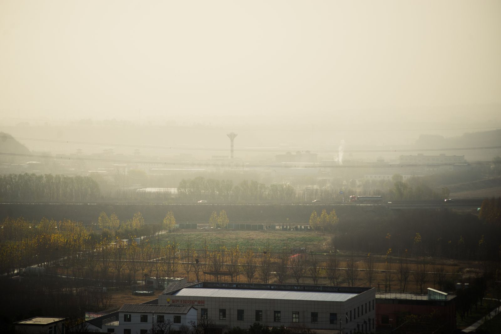
The smoke carries a different set of hazards. Field measurements during the 2015 El Niño detected aerosols and dozens of gases from Central Kalimantan peat fires, including carbon monoxide, benzene, formaldehyde and hydrogen cyanide. The peer-reviewed measurements showed that the fires were dominated by smouldering combustion and that formaldehyde was among the compounds most likely to create harmful local exposure.
Researchers can now use satellites to examine both the flames above peat and the carbon below it. Space Mart’s coverage of satellite-based peat-carbon measurement describes part of the wider effort to map stores that are difficult to measure from the ground.
The institutional future is less clear. BRGM’s mandate ended in December 2024, and monitoring groups reported that no single successor institution had been given exclusive responsibility for peat restoration. Indonesia’s Environment Ministry established a peatland and mangrove management centre in 2025, but responsibility for maintaining old restoration structures remained fragmented.
That gap matters because canal blocks decay. Wood rots, bags split, peat subsides and water finds new paths around an obstruction. Water-level monitoring and repeated repair are therefore part of the restoration itself, not optional work after construction ends.
What plugging a canal buys
At one canal block, the change can look modest. Water sits slightly higher, the surrounding surface stays damp for longer and one dry ignition point may disappear. No single structure can end a regional haze crisis.
Across a connected peat dome, however, small rises in water level can reduce the area available to burn. The important unit is not the wooden barrier alone but the hydrological zone it keeps wet, especially when neighbouring blocks create overlapping areas of rewetting.
The work has an echo in other landscapes where governments have tried to reverse the physical machinery of an earlier agricultural policy. Space Mart’s account of contour ploughing and windbreak planting after the American Dust Bowl follows a similar pattern: repair begins with changing how water, soil or wind moves across damaged land.
In Central Kalimantan, the repair is measured in water held back behind timber, wet peat beneath boots and smoke that does not rise from one more patch of swamp. The canals were cut in the 1990s, but each dry season tests whether the barriers built since 2016 can keep that old excavation from becoming a fire line again.