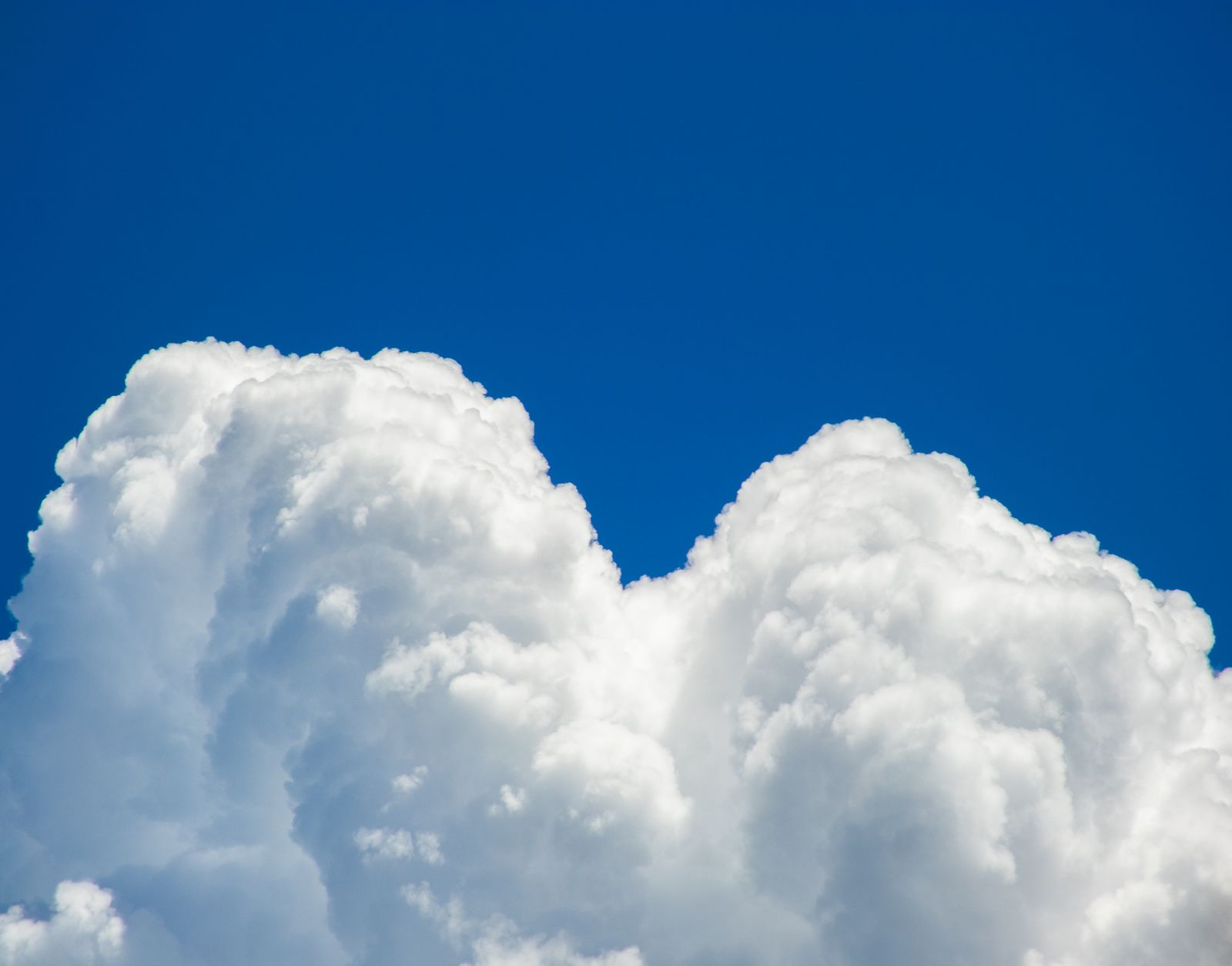
A fair-weather cumulus cloud drifting across a summer afternoon, roughly a kilometre on a side, typically holds around 500 tonnes of water, about the mass of 100 African elephants, suspended above a suburban rooftop. It does not fall because that water is not sitting in the sky as a single lump. It is dispersed as trillions of droplets, each only about 20 microns across, and each one held aloft by an updraft of warm air rising faster than the droplet can settle through it.
The mechanism is straightforward physics carried out at absurd scale: a cumulus forms when a parcel of humid air near the ground is heated by sunlight, becomes buoyant, and rises. As it climbs, it cools, water vapour condenses onto microscopic aerosols known as cloud condensation nuclei, and a droplet is born. That droplet’s fall speed through still air is about a centimetre per second. The updraft carrying it upward is often a metre per second or more. The droplet loses.
The weight, made concrete
A typical fair-weather cumulus is around a kilometre on a side. Meteorologists estimate its liquid water content at roughly half a gram per cubic metre. Multiply that by a cubic kilometre, one billion cubic metres, and the arithmetic lands somewhere near 500,000 kilograms of water, the figure the U.S. Geological Survey arrives at for a standard cumulus.
Five hundred tonnes. More than a fully loaded Boeing 747. About five blue whales. All of it floating in what looks, from a park bench, like a wisp of cotton.
Bigger clouds carry proportionally more. A cumulonimbus thunderhead ten kilometres tall can hold hundreds of thousands of tonnes of water, ice, and hail. When such a cloud finally lets go, it does not release all of that mass, most stays suspended even during a downpour, but the fraction that falls is enough to flood a valley in an hour.
Why droplets don’t just drop
The key number is droplet size. A cloud droplet averages 10 to 20 micrometres in diameter, about a quarter the width of a human hair. At that scale, air is not a thin, frictionless medium. It is viscous, and it pushes back hard against anything trying to fall through it.
The terminal velocity of a 20-micron droplet, according to standard microphysics, is about 1.2 centimetres per second. That is slower than a garden snail. A convective updraft under a growing cumulus routinely moves air upward at 1 to 5 metres per second, several hundred times faster than the droplet’s downward drift.
So the droplet does fall. It is falling right now, through every cloud you can see. It is simply being carried up faster than it descends. The cloud is a standing wave of condensation, its individual particles constantly cycling.
The role of buoyancy, and a counterintuitive twist
Warm humid air is lighter than cold dry air. That is the engine driving every cumulus. Water vapour molecules (H₂O) have a molecular weight of 18, while the nitrogen (N₂, weight 28) and oxygen (O₂, weight 32) they displace are heavier. A parcel of moist air, at the same temperature and pressure as its surroundings, weighs less.
Researchers at UC Davis, led by atmospheric scientist Da Yang, have argued that this lightness of water vapour is under-represented in some climate models, adding measurable heft to how the atmosphere is simulated. The effect is small per molecule and enormous in aggregate.
There is a stranger corollary. The same UC Davis group has shown that in the tropical atmosphere, cold air can rise rather than sink, an inversion of the schoolroom rule, because moisture content, not just temperature, determines buoyancy. A cold, humid parcel can be lighter than a warm, dry one. Clouds live in this weird gradient.
Trillions of droplets, and what the lidar saw
A cubic metre of cumulus contains something like 100 million droplets. Across a full kilometre-scale cloud, the count runs into the hundreds of trillions. Each droplet formed on a speck of dust, sea salt, sulphate, or biological fragment, the aerosol seeds that atmospheric chemists call cloud condensation nuclei.
Without those seeds, water vapour cannot condense at the humidities found in the real atmosphere. Pure water needs a supersaturation of several hundred percent to spontaneously form droplets. Actual clouds form at supersaturations of a fraction of a percent, because there are always aerosols around to serve as launching pads.
Change the aerosol population, and you change the cloud. More particles mean more, smaller droplets, brighter clouds that reflect more sunlight and rain less readily. This is the aerosol-cloud interaction that dominates uncertainty in modern climate projections, and it is why cloud microphysics research has become a central preoccupation at institutions from Brookhaven to Michigan Tech to the University of Oklahoma.

In late 2025, scientists at the U.S. Department of Energy’s Brookhaven National Laboratory and Michigan Technological University reported a new instrument that can resolve cloud structure at the scale of a single centimetre, a resolution 100 to 1,000 times finer than the atmospheric lidars in standard use. Their results appeared in the Proceedings of the National Academy of Sciences.
Pointed at laboratory-generated clouds inside the Pi Cloud Chamber at Michigan Tech, the instrument revealed something the old resolution had blurred out. The top of a cloud is not a fuzzy continuation of its interior. It is structurally different. There are fewer droplets there, and they are sorted by size, with heavier ones falling out and lighter ones lingering in the weaker turbulence near the boundary.
According to the researchers, the new lidar can observe cloud-top microstructures in unprecedented detail without disturbing the clouds themselves. Lead author Fan Yang described the instrument as essentially a microscope for clouds.
Two processes produce the layered top. One is entrainment: dry air above the cloud gets pulled downward, mixing in and evaporating droplets on contact. The other is size sorting by sedimentation, where the larger droplets fall out faster and leave the smaller ones behind. In the middle of the cloud, strong turbulence stirs everything together like milk into coffee. Near the top, turbulence weakens and the mixing stops.
Why the cloud top matters, from centimetres to the planet
Cloud tops are where sunlight bounces. A slightly brighter cloud top reflects more solar energy back to space; a slightly darker one lets more through to warm the surface. Global-scale climate outcomes hinge on details operating at the centimetre scale.
Most atmospheric models either ignore droplet sedimentation entirely or represent all droplet sizes with a single fall speed. Yang and colleagues note that this is a reasonable simplification for the bulk of a cloud but breaks down near the top, exactly where the radiative accounting matters most.
Clouds also ride on invisible ripples in the atmosphere. Atmospheric gravity waves, the oscillations that form when stable air is pushed upward over a mountain range or a thunderstorm and springs back down, modulate where clouds appear and how long they last. Simulating these features accurately is one of the harder problems in climate science, and researchers writing in Eos have argued for simpler models that isolate specific processes rather than piling every effect into a single global simulation.
The trade-off is stark. A global climate model has to cover the entire atmosphere on grid cells typically tens of kilometres wide. A cumulus cloud fits inside one grid cell. The physics that keeps 500 tonnes of water suspended has to be represented by a parameterisation, a statistical stand-in, rather than resolved directly. Every improvement in that parameterisation, informed by chamber experiments and centimetre-scale lidar, ripples through projections of rainfall, drought, and temperature a century from now.
Five hundred tonnes, moving at a walking pace
A cumulus cloud has a lifespan measured in tens of minutes. The droplet you are looking at when you glance up at a summer sky did not exist five minutes ago. It condensed onto a speck of aerosol somewhere below the cloud base, rode a thermal upward, and will either evaporate at the ragged edge where dry air is entraining, or grow large enough to fall as rain, or be recycled through the interior turbulence until the whole structure dissipates.
The cloud is not an object. It is a process, a slow-motion fountain in which mass is continuously being added at the bottom and lost at the top, edges, and base. What looks static is a standing pattern in a moving medium.
Voyager 1, which SpaceMart has covered in a piece on how the probe still transmits from beyond the heliosphere on 22 watts, has been in flight since 1977. In the same span, the individual water droplets in the cumulus above your head have cycled through creation and destruction hundreds of millions of times over.
The cloud drifts across the sky at whatever speed the wind at its altitude is moving, often 20 to 40 kilometres an hour. Its shadow slides across a field at roughly the pace of a jogging dog. The mass inside it is comparable to a small freighter. The droplets composing that mass are each falling constantly and being lifted constantly, in a balance that has been running above every warm continent for as long as there has been an atmosphere.
Look up on a July afternoon. The white shape you see contains a swimming pool’s worth of water, and it is being held there by nothing more elaborate than warm air rising faster than droplets a fiftieth of a millimetre across can fall.