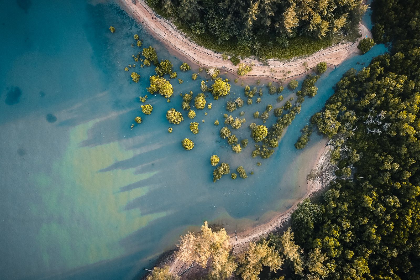
Bangladesh answered the 1991 Bay of Bengal cyclone — a storm that killed roughly 138,000 to 140,000 people in a single night on 29 April — by planting mangroves. Not only mangroves. The country also raised concrete cyclone shelters from 42 in 1970 to more than 12,000 today, according to reporting in The Conversation. But the defining choice, the one that shaped the coastline you can see from a Sentinel-2 satellite pass today, was to grow a living wall of salt-tolerant trees along hundreds of kilometres of exposed mud.
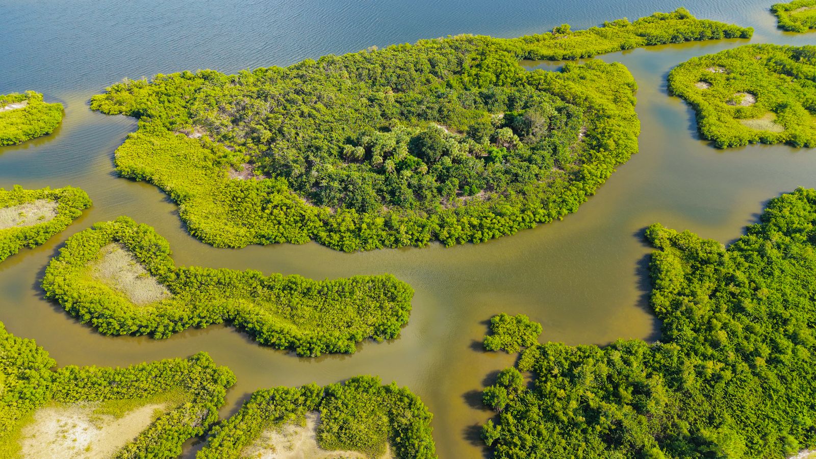
The mechanism is straightforward. A mature belt of Sonneratia apetala and Avicennia officinalis — the two species the Bangladesh Forest Department planted most aggressively from the mid-1960s onward, and accelerated after 1991 — bleeds energy out of a storm surge before it reaches inhabited land. Roots, trunks and pneumatophores act as a fluid brake. The Sundarbans, the 10,000-square-kilometre mangrove forest that DW described as a natural barrier during cyclones Sidr in 2007 and Aila in 2009, absorbed the first hours of those storms before they touched the villages behind it. Sea walls, by contrast, do one job at one height and then fail catastrophically when overtopped.
The night that reset the policy
On the evening of 29 April 1991, a Category 5-equivalent cyclone made landfall near Chittagong with sustained winds around 250 km/h and a storm surge estimated between 6 and 8 metres. The delta is a funnel. The Bay of Bengal narrows northward, the seabed shelves gently, and a moving wall of water piles up against a coast that sits, in places, less than three metres above mean sea level. The death toll — around 138,000 to 140,000 people, with some estimates higher — makes it one of the deadliest storms of the twentieth century, ranked among the nine deadliest tropical cyclones in recorded history.
The engineering question after 1991 was blunt. Build the wall higher, or build a different kind of wall.
Higher was expensive and, in the delta, physically awkward. The existing embankments — locally called polders — stretch across roughly 7,000 kilometres of coast. Professor Ainun Nishat, one of the country’s leading climate specialists, told DW that the standard dyke height of about 15 feet (4.5 metres) that was considered adequate in the 1960s is no longer sufficient given sea-level rise. Raising 7,000 km of embankment by even a metre is a project on the order of a national highway network, on ground that is itself sinking.
Why a hedge, not a wall
A concrete embankment is binary. It holds or it breaks. When it breaks, the water inside the polder cannot drain, and the enclosed farmland turns into a saltwater lake for months. This happened repeatedly through the 1970s and 1980s. The same trade-off is well documented along Bangladesh’s own coast, where reporting for Dialogue Earth notes that embankments cannot be raised indefinitely and that water experts increasingly argue mangrove belts must absorb part of the load.
A mangrove belt fails gracefully. Individual trees snap. The forest as a system keeps standing. Dense mangrove vegetation can measurably reduce surge heights as storm water passes through the belt. Sidr still killed at least 3,447 people, according to figures cited by DW, but that number is two orders of magnitude below 1991. Part of that gap is shelters and warnings. Part is trees.
What was actually planted
The Bangladesh Forest Department began coastal afforestation in 1966 on newly accreted char land — silt islands squeezed up by the Ganges-Brahmaputra-Meghna outflow. In the decade after 1991, that programme became a national priority, with extensive planting continuing along the Chittagong, Noakhali, Bhola and Patuakhali coasts.
The workhorse species is Sonneratia apetala, locally called keora. It tolerates high salinity, grows fast — up to 2 metres a year in its first decade — and produces the pneumatophores that trap sediment and raise the mudflat. Once the ground is stable enough, slower-growing species like Avicennia, Excoecaria and eventually Heritiera fomes (the sundari tree that gives the Sundarbans its name) can be seeded.
The satellite view
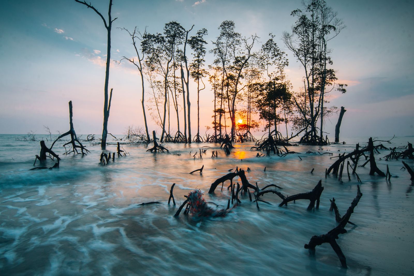
From orbit, the strategy is legible. Landsat imagery from 1975 shows a raw, exposed delta edge. The same coast in 2024, imaged by Sentinel-2, shows a dark green fringe averaging 500 metres to 2 kilometres wide from Cox’s Bazar up to the Meghna estuary. Earth observation has become the primary tool for monitoring the belt — cheaper than ground surveys, and continuous.
The carbon accounting is a bonus the Forest Department did not initially plan for. Mangroves store significantly more carbon per hectare than inland tropical forests, with much of it locked in anaerobic mud that resists decomposition for centuries.
The layered defence
The forest is not the whole answer, and Bangladesh has never claimed it was. The system is layered.
Cyclone shelters — squat concrete buildings on stilts, most doubling as schools during calm weather — now number more than 12,000 along the coast, serving nearly 5 million people. In 1970, when the Bhola cyclone killed roughly half a million people, there were 42. Professor Nishat estimates the country still needs closer to 10,000 additional shelters to fully cover the roughly 30 million people living in the vulnerable coastal belt, according to DW’s reporting ahead of Cyclone Amphan.
Warning systems tail the meteorology. Bicycles with megaphones still run the last kilometre in villages where mobile signal is patchy. When Cyclone Amphan made landfall on 20 May 2020 as one of the most powerful Bay of Bengal storms on record, evacuation of more than 2 million people held the death toll in Bangladesh to 26, a number The Conversation documented as the outcome of a fifty-year investment.
Polders — the embanked low-lying agricultural blocks first built with Dutch assistance in the 1960s — still ring the interior. The current thinking is that they work best when paired with tidal river management, opening sluice gates on a schedule to let silt back in and prevent the enclosed land from sinking below the surrounding water table.
Why not just a bigger wall
The cost comparison is not close. Building and maintaining reinforced sea walls to hold back an 8-metre surge across 700 kilometres of active delta coastline — where the shoreline itself migrates by hundreds of metres a year as the rivers deposit and erode sediment — is closer to a Sisyphean engineering exercise than a project with a completion date. The Netherlands can defend a stable, subsiding coast because the North Sea coast is stable. The Bay of Bengal coast is not. Chars appear and vanish on decadal timescales.
Mangroves ride that motion. When a new char rises, keora is planted within a few years. When an older stretch of coast erodes, the forest retreats with it, releasing sediment that helps build the next island downstream. The system is self-adjusting in a way that concrete cannot be.
There is also the question of what happens on a normal Tuesday, not on the one day a decade when a Category 5 arrives. A mangrove belt is a fishery. Shrimp post-larvae, mud crabs, mullet and hilsa nurse in the root systems. The ABC’s reporting on why the Bay of Bengal is so cyclone-prone notes that the same shallow, warm, nutrient-rich water that spawns storms also supports one of the densest coastal populations on Earth — around 30 million people in the Bangladeshi coastal zone alone. A wall feeds nobody. A forest feeds villages.
What the numbers say now
The trend line is stark. The 1970 Bhola cyclone: approximately 500,000 dead. The 1991 cyclone: 138,000 to 140,000. Sidr, 2007: 3,447. Amphan, 2020: 26 in Bangladesh, despite Amphan being comparable in wind energy to the 1991 storm.
None of this means the delta is safe. Sea level in the Bay of Bengal is rising faster than the global average — closer to 4 mm per year on some tide gauges. Experts quoted by DW warn that up to 20 percent of Bangladesh’s land area could be submerged within 30 years under current projections. Salinity intrusion is already killing sundari trees in the eastern Sundarbans faster than they can be replaced, and cyclone intensity is trending upward as sea-surface temperatures climb.
The forest is a delaying tactic, and its designers know it. Every additional decade of mangrove buys time to build shelters, to relocate the most exposed households, to develop crop varieties that tolerate brackish soil. It is not a permanent solution because there is no permanent solution to a coastline that is both sinking and being hit harder.
The choice, restated
A sea wall is a promise. It says: the line is here, and it will not move. The Bay of Bengal delta cannot make that promise. The rivers move the line every monsoon. The tides move it every twelve hours. The 1991 storm moved it by kilometres in a night.
A mangrove belt makes a different offer. It says: the line will move, and something will grow along it wherever it ends up. Keora seedlings planted on a mudflat in 2026 will be four metres tall by 2036. If a Category 5 arrives in 2040, they will be trunks thick enough to break the first half-metre off a surge. If no storm comes, they will still be fisheries, carbon sinks, and the substrate for whatever coast Bangladesh has by then.
The satellite record will keep watching. Sentinel-2 passes overhead every five days. The green fringe on the delta edge is, right now, one of the largest deliberately grown coastal forests on the planet — a living answer to a storm that hit thirty-five years ago and a reminder that some infrastructure grows.