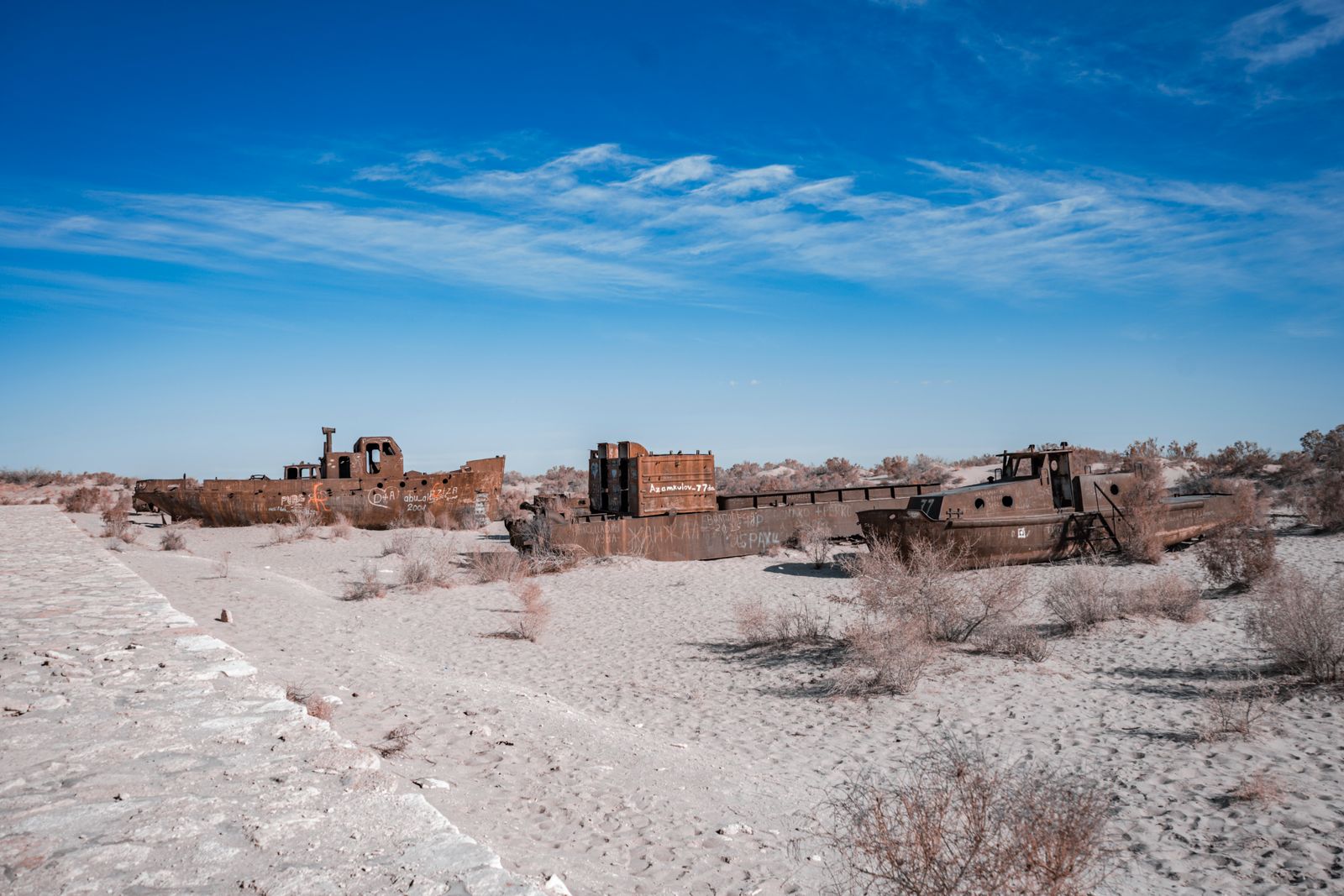
The Aral Sea once covered a vast area, an inland ocean straddling the border between Kazakhstan and Uzbekistan. By the early 2000s it had lost the vast majority of its water, split into brine-choked puddles ringed by rusting trawlers stranded on salt flats. Then, in the north, an earthen barrier called the Kok-Aral Dam went up across the narrow throat of water that connects the shallow northern lobe to the vanished southern basin. Within a few years, the water behind it rose significantly, salinity dropped substantially, and the fishing port of Aralsk — which had watched the shoreline retreat over four decades — began landing pike-perch and flounder again.
The dam was completed in 2005 by the Kazakh government with a loan from the World Bank. It cost a modest amount by infrastructure standards. And the story of how it worked — and why it only worked for the northern half — is one of the sharpest object lessons in ecological triage anywhere on Earth, as The Times of India science desk documented in its recent survey of the recovery.
What was lost, in numbers
The Aral Sea was one of the world’s largest lakes in 1960. It held an enormous volume of water. Two rivers fed it: the Amu Darya from the south, tumbling down from the Pamirs, and the Syr Darya from the east, flowing out of the Tian Shan. Together they delivered massive amounts of freshwater each year.
Then Soviet planners in Moscow decided Central Asia should grow cotton on a continental scale. Beginning in the 1960s, engineers cut irrigation canals across the Kyzylkum and Karakum deserts to grow cotton, often referred to as white gold, on a continental scale. The Karakum Canal alone stretched more than a thousand kilometres. Much of the diverted water never reached a field; it soaked into unlined channels or evaporated under the desert sun.
By the late 1980s the two rivers were delivering almost nothing to the sea. The Amu Darya, in most years, no longer reached its own delta. As The Diplomat reported in its 2025 analysis of regional water politics, the resulting collapse became the textbook case of Soviet hydrological mismanagement, cited in every regional water dispute since.
The sea shrank fast. By 2000 it had split into two. By 2007, satellite images showed a ribbon of the North Aral, a crescent-shaped western sliver of the South Aral, and a vast dry seabed called the Aralkum — the youngest desert on Earth, laced with pesticide residue and salt that the wind picked up and blew across four countries.
The dam that changed the arithmetic
The idea for the Kok-Aral Dam was old by the time it got built. A cruder version, made of sand, had been thrown up in 1992 and washed away in 1999. The permanent structure — concrete-cored, clay-faced, with a spillway to release excess water south — was finished in 2005.
The engineering logic was almost embarrassingly simple. The North Aral sits higher than the South Aral basin. Whatever water the Syr Darya still delivered to the north was flowing south through the narrow Berg Strait and evaporating on the salt pan. Close the strait, and the northern lobe would fill.
It did. Within months of construction, water levels behind the dam rose significantly. Within a few years the North Aral had gained back a substantial portion of its former volume. Salinity, which had climbed well above ocean levels and become lethal to native freshwater fish, fell dramatically. Pike-perch, bream and flounder came back, in some cases restocked from Kazakh hatcheries, in others returning on their own from the Syr Darya delta.
Why the boats came back to Aralsk
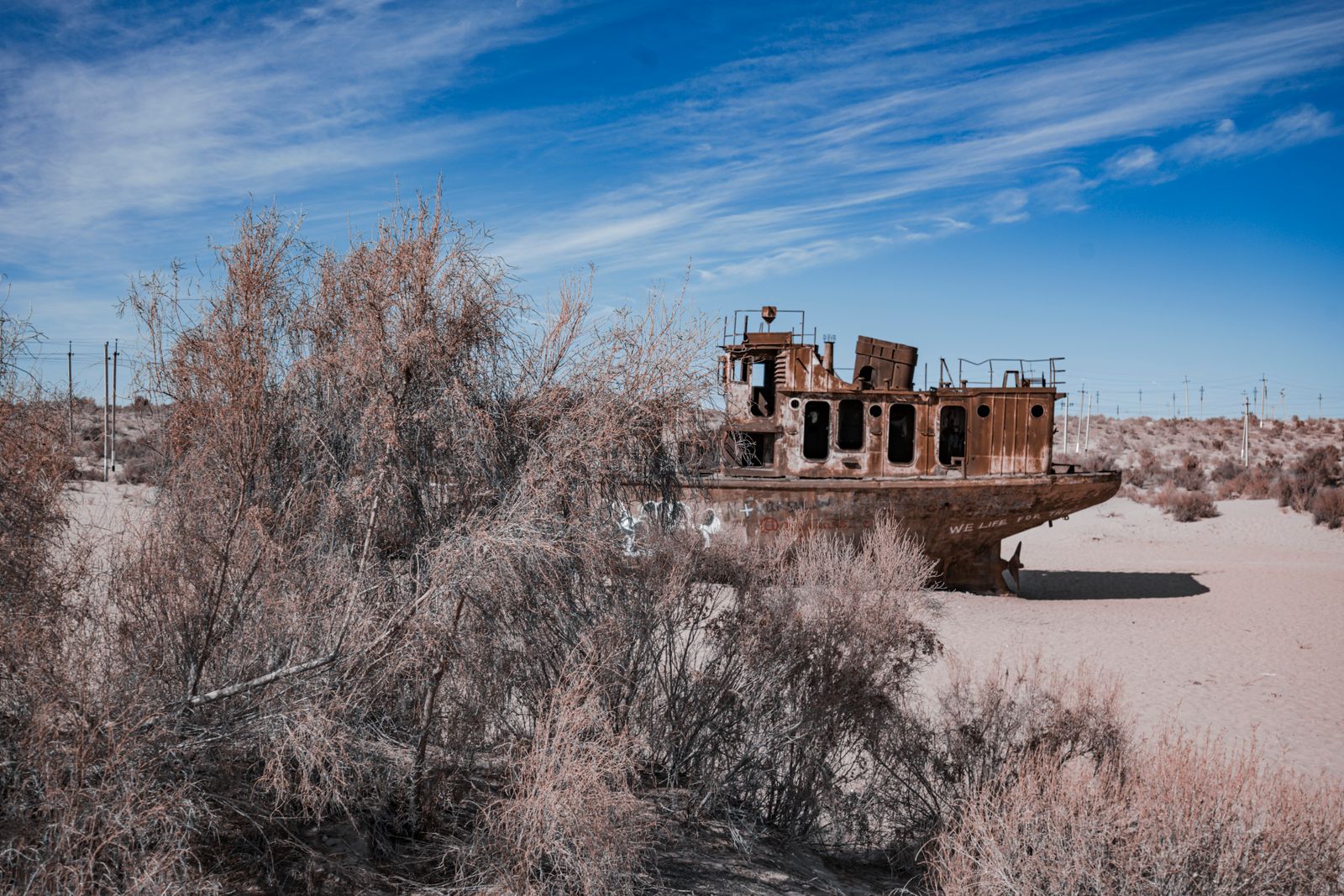
Aralsk was the sea’s largest port. In 1960 it handled a large portion of the Soviet Union’s freshwater fish catch. By the 1980s the water was many dozens of kilometres away and the docks were a museum of rust. Camels wandered through the hulls of stranded trawlers.
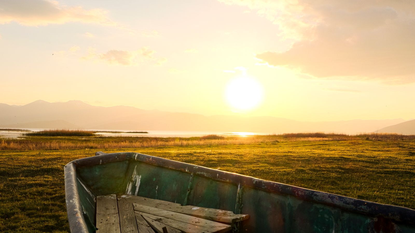
After the dam, the shoreline advanced back toward the town. It has not reached the old docks — the water is still a considerable distance away as of the most recent surveys — but that is close enough that trucks can carry the catch from new landings. Fishery authorities reported annual catches climbing from near zero in 2005 to thousands of tonnes by the late 2010s. Small processing plants reopened. A generation of children in Aralsk who had never seen a live fish began eating them at school.
The recovery is not romantic. The North Aral is a lake, not a sea; it covers a fraction of the original expanse. Winters are colder without the mass of water to moderate them, and summers hotter. Dust storms still lift toxic sediment off the Aralkum and carry it as far as the glaciers of the Pamirs, where dark particles hasten melt. As Discover Magazine noted in its global survey of drying lakes, more than half of the world’s largest bodies of water are losing volume, and the Aral remains the benchmark case study.
Why the south did not come back
The southern basin, which sits mostly in Uzbekistan, was always the larger share of the Aral. Refilling it would have required not a small dam on a strait, but the restoration of the Amu Darya’s flow. And the Amu Darya is not a Kazakh river to control.
It rises in Tajikistan and Afghanistan, threads through Uzbekistan and Turkmenistan, and every state along its length pulls water from it for cotton, wheat, rice and increasingly for cities. Uzbekistan chose a different strategy: rather than let water pass through to the sea, it drilled for gas beneath the exposed seabed and planted saxaul shrubs on the salt to slow the dust. The southern lobe was, in effect, written off.
Now a new pressure is building upstream. Afghanistan’s Taliban government has been digging the Qosh Tepa Canal — a channel designed to irrigate hundreds of thousands of hectares by diverting a significant portion of the Amu Darya’s flow. Afghanistan was never a signatory to water-sharing agreements among the former Soviet republics. Downstream states face the prospect of losing substantial portions of their irrigation quotas once Qosh Tepa is running at capacity.
The implication for what remains of the South Aral is straightforward: less. The Uzbek outlet Qalampir has argued that drinking water is becoming the region’s most strategically contested resource, more critical than the oil and gas beneath the same deserts.
An echo in Iran, and elsewhere
The Aral is not alone. Lake Urmia in northwestern Iran, once one of the world’s largest saltwater lakes, has lost the vast majority of its water over the past two decades, driven by dam construction on its feeder rivers and unregulated well-drilling for orchards. As The Christian Science Monitor documented in its reporting from the lakebed, Iranian engineers have belatedly turned to drip irrigation and canal-fed river restoration, borrowing directly from the Kazakh playbook. The Salton Sea in California, Lake Poopó in Bolivia, and Lake Chad on the edge of the Sahara are all losing volume at rates that would have seemed impossible a generation ago.
India is watching too. A recent Mongabay India commentary on measuring development pointed to the Aralkum as the visible cost of measuring agricultural success in tonnage rather than in the long-run health of a river basin.
What the Kok-Aral proves, and what it doesn’t
The northern recovery is not a story of climate reversal. Regional temperatures are still climbing — Central Asia has warmed significantly since the mid-twentieth century. Glacier melt in the Pamirs and Tian Shan is accelerating, which paradoxically means more river flow in early spring and less in late summer, when crops actually need it.
What the Kok-Aral proved is narrower and more useful: that when a lake dies primarily because upstream humans took its water, giving even a fraction of that water back — and containing it with a modest piece of infrastructure — can bring the lake back on a decadal timescale. Fish return. Salinity falls. A local climate that had turned savage becomes marginally kinder.
It also proved the limit of that logic. The Kok-Aral could only save the North Aral because Kazakhstan controlled the Syr Darya’s delta and could afford to let the water pool there instead of pumping it onto cotton. The South Aral would require a five-country agreement that does not exist, and now a six-country agreement that includes a Taliban government that has never signed a water treaty.
In an earlier piece on how Voyager 1 keeps transmitting on 22 watts, this desk noted that some of the most consequential engineering is also the least glamorous. The Kok-Aral belongs in the same category: a low dam of clay and stone, built for a modest sum, that put a shoreline back where a shoreline used to be.
Standing on the new shore
If you stood on the northern bank at Tastubek — a village that in the 1990s was far from the water — you would now see waves. The lake behind the dam is shallow and slightly greenish, and the wind off it carries the smell of fish rather than the smell of salt dust. In winter the surface freezes thick enough to walk on, and fishermen cut holes for pike-perch. In summer, gulls work the shallows. The old Soviet cannery in Aralsk, closed in 1984, has been partially reopened.
Six hundred kilometres to the south, the seabed is still a desert. Camels walk between the ribs of ships that were built to sail on a sea that will not come back in any lifetime now alive. The Kok-Aral did not save the Aral. It saved a corner of it, and that corner is enough to remember what the whole thing was.