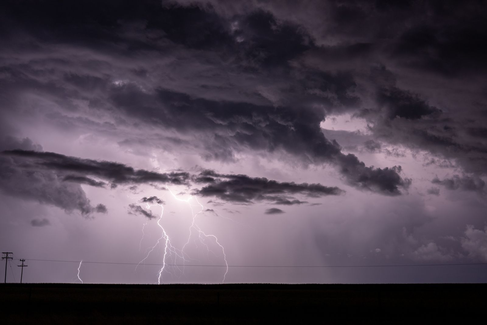
A single stroke of lightning crossed 768 kilometres of southern US sky on 29 April 2020, sprawling from eastern Texas across Louisiana and into Mississippi. The World Meteorological Organization confirmed the flash as the longest ever measured, a horizontal discharge threaded between cloud tops long enough to reach from Boston to Washington DC in one continuous branching filament.
No human on the ground saw it whole. From any single vantage point in Shreveport or Jackson, an observer would have registered a bright pulse and a distant rumble, maybe a slow flicker moving along the underside of a shelf cloud. The full shape of the thing — a jagged, cross-country arc of superheated plasma — only exists as a picture because a geostationary satellite was watching from 36,000 kilometres above the equator.
The flash, in numbers
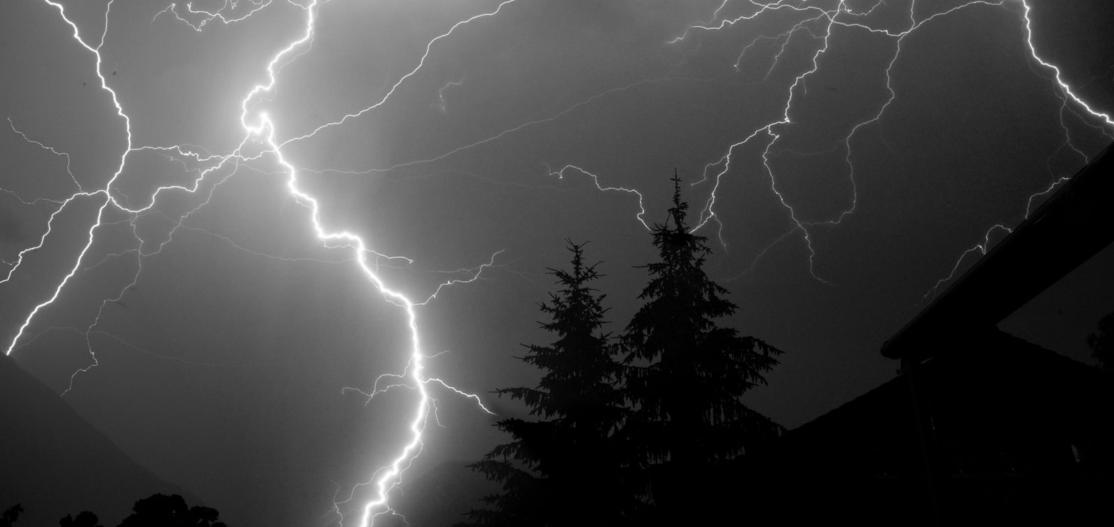
768 kilometres. 477 miles. Three states. One flash.
The previous record, set over southern Brazil in October 2018, ran to 709 kilometres. The April 2020 event beat it by roughly 60 kilometres, or about the length of Long Island. Deutsche Welle reported that the bolt was classified as a “megaflash” — a rare category of horizontal cloud-to-cloud discharge that unfolds inside the anvil of a massive thunderstorm complex, rather than lancing down to the ground.
For scale, a typical lightning flash covers a few kilometres and lasts a fraction of a second. The 2020 megaflash was more than two hundred times longer than that. Long enough to say a sentence out loud. Long enough for a commercial jet at cruise to move a mile and a half through the same sky.
Why the Great Plains produce monsters
The southern US sits under a factory of extreme weather. Warm, wet air pushes north off the Gulf of Mexico and collides with cold, dry air spilling east off the Rocky Mountains. When those masses stack, they produce the sprawling, long-lived storm systems meteorologists call mesoscale convective complexes — thunderstorm clusters that can span the width of a small European country and drift through the night for ten or twelve hours.
Inside those complexes, the anvil cloud spreads laterally at the tropopause, forming a flat ceiling of ice crystals hundreds of kilometres across. Charge separates through it, and when the potential difference grows large enough, a horizontal channel can propagate along the underside — hopping from one charged region to the next like a spark running through a warehouse. The April 2020 storm was one of these systems, sitting across the lower Mississippi Valley in the early hours of spring.
Analysis of the megaflash found that the discharge did not travel in a straight line. It branched, doubled back, and re-illuminated older channels as fresh charge fed in.
Why ground observers cannot see it
Earth is a sphere. That is the whole problem.
Stand under a thundercloud and look toward the horizon. The tops of anvil clouds sit around 12 to 15 kilometres up. Beyond a few hundred kilometres away, they slip below the horizon. A lightning channel that stretches 768 kilometres across the sky is, by definition, running out past what any single ground observer can see. Human eyes, and even ground-based lightning mapping arrays, cannot register a flash that is partly over the horizon from every station.
For most of the 20th century, this meant megaflashes were essentially invisible. Ground-based lightning networks could detect the electromagnetic pulses from individual strokes, but stitching them into a single continuous flash across state lines was guesswork. The physics allowed for the possibility. The measurement technology did not exist.
The instrument that changed what counts as a flash
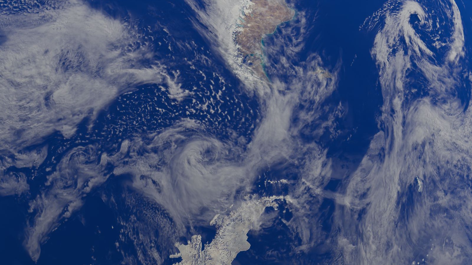
The 768-kilometre bolt was mapped by the Geostationary Lightning Mapper, an instrument riding on NOAA’s GOES-16 and GOES-17 satellites. Weather satellite lightning imagers have transformed what atmospheric scientists can see, as SpaceMart has explored in earlier coverage of extreme lightning. The GLM is a near-infrared optical camera that stares at the full Western Hemisphere at once. When a lightning channel illuminates the cloud above it, the GLM catches the pulse, timestamps it, and algorithms link neighbouring pulses in space and time into a single flash. The April 2020 event was recognised only after this stitching was done, and the total geographic extent measured.
ScienceAlert noted that the WMO’s expert committee reviewed the satellite data before certifying the record, and that a similar megaflash record for duration over Uruguay and northern Argentina in 2020 was confirmed at the same time.
Europe watches with a different design
European meteorologists have their own lightning-from-orbit instrument now. ESA and EUMETSAT’s Lightning Imager launched aboard MTG-I1 in December 2022 and covers Europe, Africa, and parts of the Middle East and South America. Between the American GLM and the European LI, most of the world’s thunderstorm-prone latitudes are now under continuous optical watch from geostationary orbit.
Before these instruments, the working assumption in atmospheric electricity was that lightning flashes rarely exceeded 100 kilometres or a couple of seconds. The record book is being rewritten because the tools finally exist to see what was always there.
What it would look like from a window seat
Imagine a commercial flight from Dallas to Atlanta crossing the top of that storm at 38,000 feet. The cabin is dark. Off to the north, the anvil stretches to the horizon in every direction, a black plain against the deeper black of the pre-dawn sky. Then a pulse — not a bolt, but a wash of light — races along the cloud tops, illuminating a region of atmosphere longer than the entire flight path from Boston to Washington. It brightens, dims, brightens again as new branches feed in, then fades.
From the seat, it would look like the entire cloud deck was breathing light. From the ground beneath, it would look like a strange, drawn-out flicker with thunder arriving in long, overlapping waves. From a satellite at 36,000 kilometres, it registered as a coherent structure — one flash, one event, one entry in a WMO archive.
The energy question
Megaflashes are harder to characterise because much of the discharge happens intra-cloud, not to ground, and because the branching structure spreads the current across many channels rather than one column. What researchers have found is that the total charge transferred inside a megaflash can be an order of magnitude larger than an ordinary flash, though the peak current at any single point may be lower.
The temperature inside a lightning channel briefly reaches extreme heat — hotter than the surface of the Sun. Stretch that channel across 768 kilometres and you have, for a few seconds, a filament of plasma running the length of Great Britain suspended inside a cloud.
Why records keep falling
The 2018 Brazilian record stood for less than two years before the April 2020 event broke it. Reporting on the WMO certification noted that the previous single-flash duration record was also beaten in the same review cycle. This is not because storms are getting bigger on a year-to-year timescale. It is because the satellite archive is short, the algorithms are still being refined, and the search space is enormous.
Randall Cerveny, the WMO’s rapporteur on weather and climate extremes, has said publicly that further records are likely as more data accumulates. Longer flashes almost certainly exist. Some may have already happened over the Congo Basin or the La Plata Basin — the two other regions on Earth that produce mesoscale convective complexes of similar scale to the US Great Plains — and simply have not yet been picked out of the GLM or LI archives.
What this changes for storm science
Aviation authorities care because horizontal megaflashes can travel far beyond the visible storm core, striking aircraft that appear to be in clear air. Utilities care because charge transfer at those scales can induce currents in power lines dozens of kilometres from any obvious thunderhead. Climate scientists care because lightning is a source of atmospheric nitrogen oxides, and megaflashes disproportionately contribute to that chemistry over large volumes of the troposphere.
The official recognition by the WMO matters partly because it standardises what counts as a single flash across national weather services. Without an agreed definition, one country’s megaflash is another country’s cluster of separate strokes.
The archive keeps growing
GOES-16 has been operating since 2017. GOES-18 replaced GOES-17 in the western slot in 2023. The GLM instruments accumulate data every day, and every archive sweep produces new candidate megaflashes for the WMO’s committee to review. The April 2020 flash was certified in early 2022 — a two-year gap between the event and the official record, which is roughly how long it takes for the analysis pipeline to run.
Somewhere in the current archive, over a Kansas anvil in June or a Paraguayan storm in December, there is almost certainly a flash longer than 768 kilometres already sitting in the data. The instrument that would see it exists. The algorithms that would flag it are still catching up.
On that morning in April 2020, a filament of light crossed three American states in the time it takes to read this sentence aloud, and it did so silently, above the weather, visible only to a camera parked in a slot above the equator. The rumble that reached the ground was the same thunder that has rolled over the Great Plains for as long as there have been Great Plains. What was new was that, this time, someone was watching from far enough away to see the whole thing at once.